
Back in December 2019, for my very first story on this website, I wrote about how I didn't climb Grasmoor and Crag Hill (Eel Crag). Having now retraced my steps to Braithwaite, I thought I would share how I got on.
If you take as a given that any sort of "Coledale round" (or in my case, a Coledale point-to-point) involves ascending to the summit of Crag Hill, it follows that whichever route you choose, it will be a "big day out". Even more so when your time in the high fells has been somewhere between “limited” and “non-existent” during the ongoing chaos of 2020.
I started out from Braithwaite with just three new Wainwrights in my back pocket from the whole of 2020 up to that point. The first of those, Raven Crag, had been all the way back in early January. In early September, I'd climbed Hartsop-above-How as an out-and-back from Patterdale, and the day before I had summited Fleetwith Pike from an elevated start point at Honister.
For that reason, I felt a little out of my comfort zone as I headed upwards, climbing over the right shoulder of Stile End as Wainwright recommended for the initial ascent to Sail. I had not climbed so high, or walked so far, in the Lake District for almost a year, although I had done some hiking at a higher altitude (albeit with more moderate distances and ascent) in Switzerland in August. I had made a mental note of all the places I could turn back or curtail the route should my body decide enough was enough or if my slow and steady pace left time running short. These included doubling back over Scar Crags or following the path down from Crag Hill to Force Crag Mine. In the event, I exceeded my own expectations and made it to Buttermere in good time and with my legs only moderately angry with me.
No doubt some readers are shaking their heads at my failure to include one or more of Barrow, Outerside, Causey Pike, Scar Crags, Grisedale Pike, or Hopegill Head, but I was already wary of overcooking myself, and all six had been ticked off previously. In fact, I had made my third ascent of Barrow only the night before to watch the sun go down.
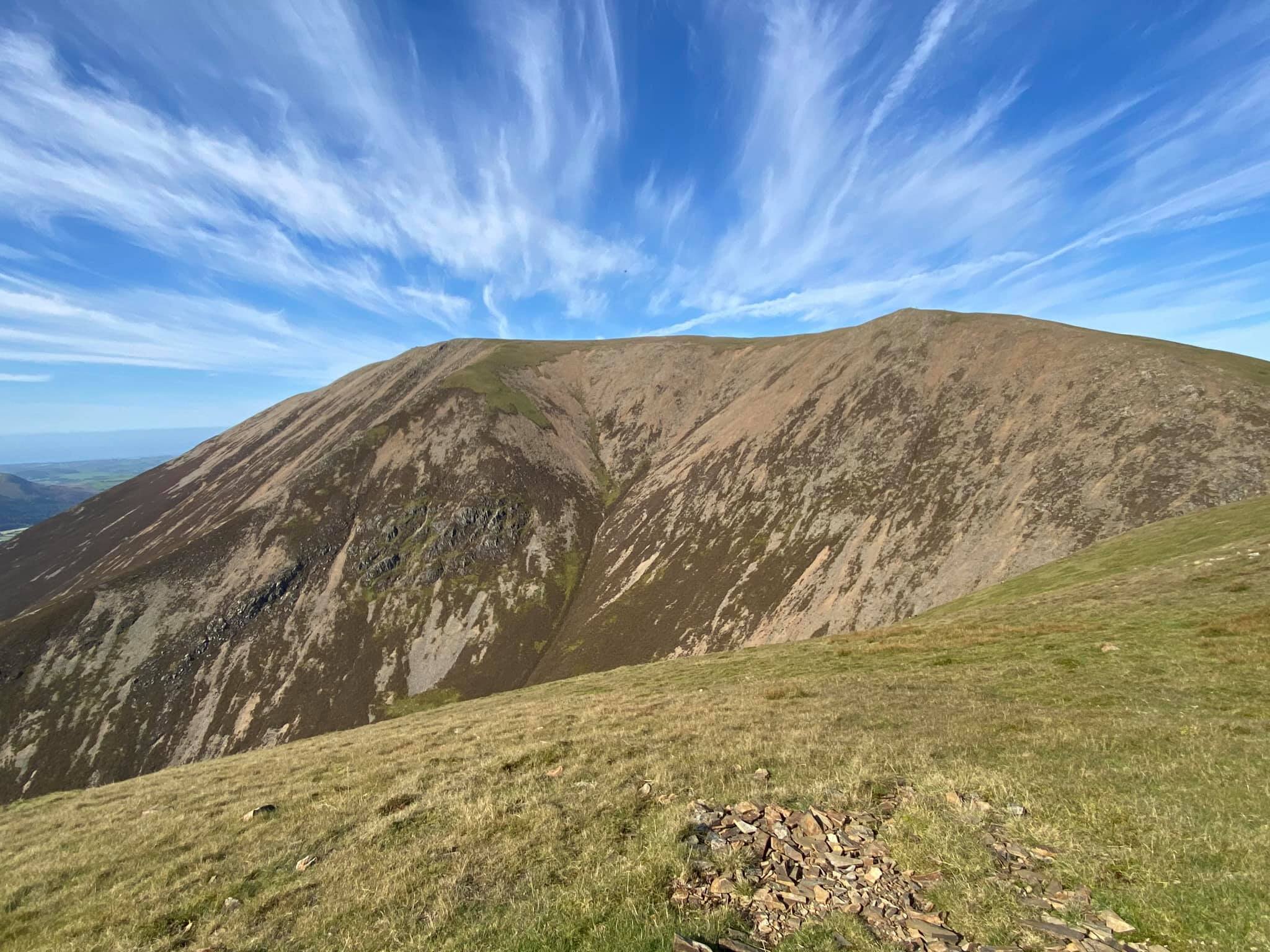
I took my first proper breather at the foot of the Sail zig-zags, a landmark I had seen often from afar (and once, up close from the descent from Scar Crags) but had never tackled. In contrast to the ascent route, the summit of Sail is flat and mossy, which obscures the otherwise fine views slightly. I found the connecting ridge before the climb to Crag Hill surprisingly airy, even though it is wide and clear. By contrast, after a few early steps where hands were definitely required, the subsequent ascent to the Crag Hill summit did not seem as challenging as is often advertised. It was, however, great fun - definitely as advertised.
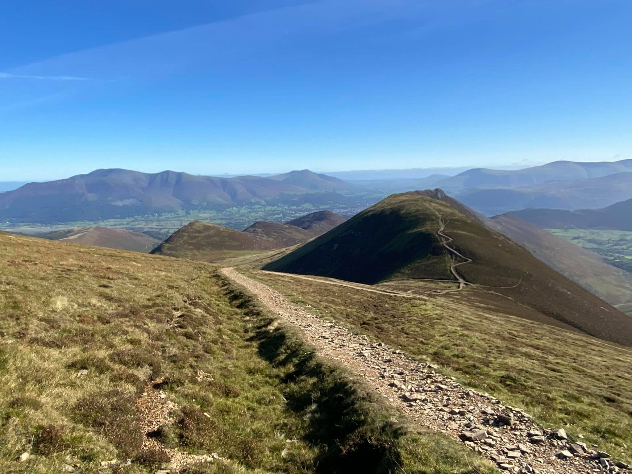
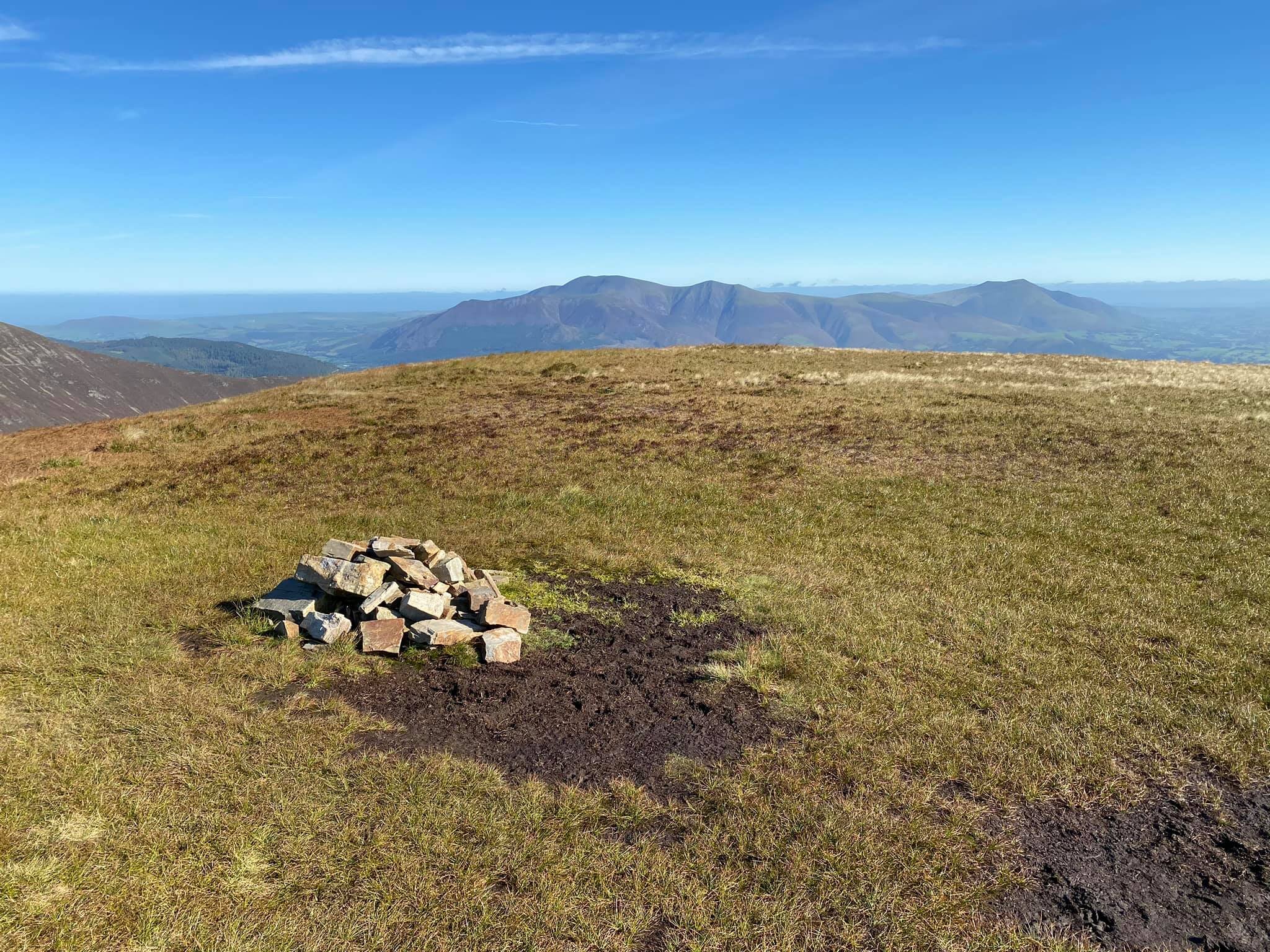
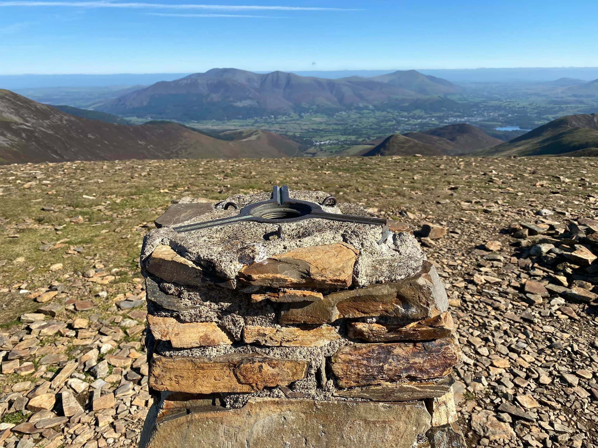
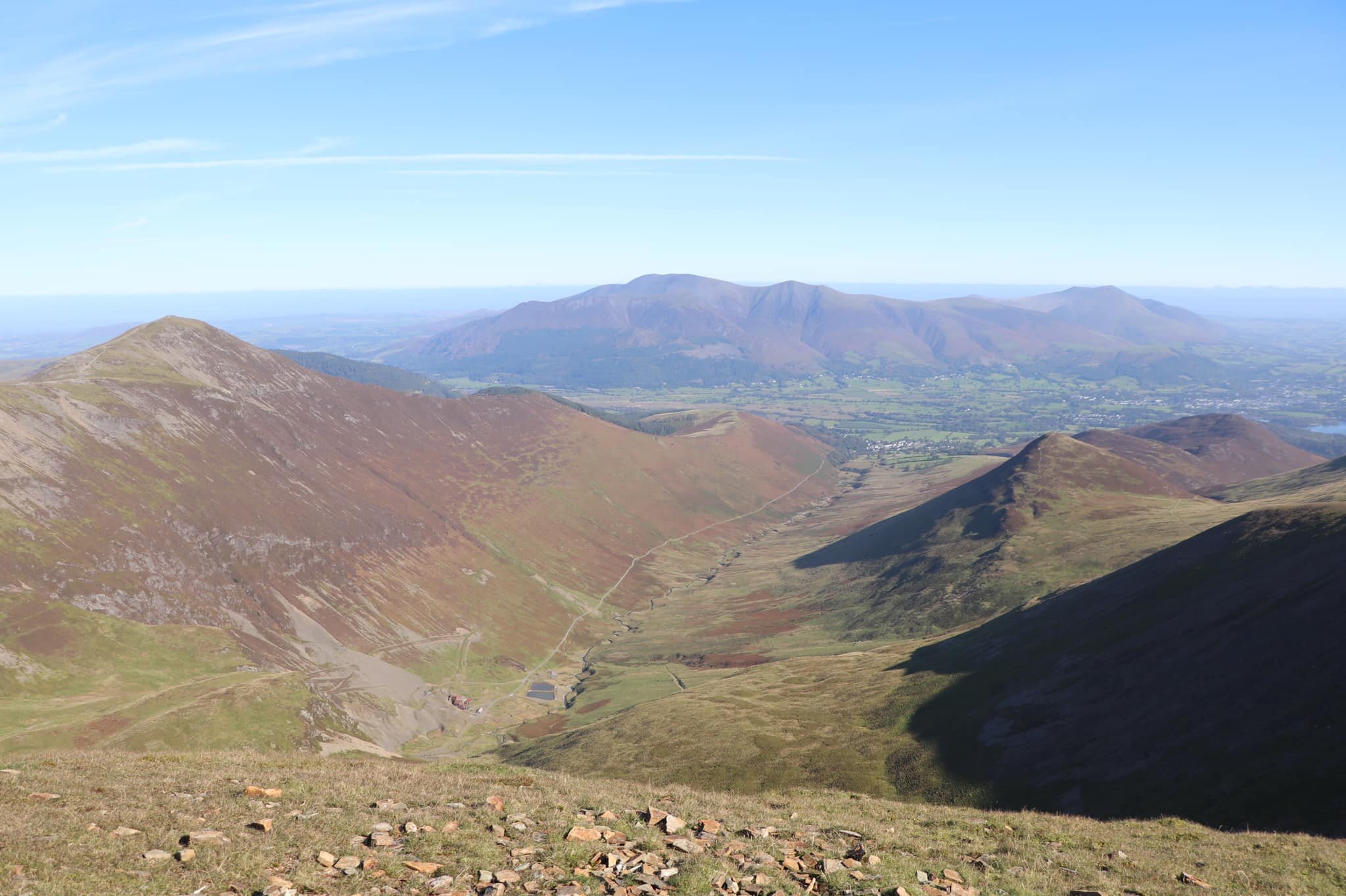
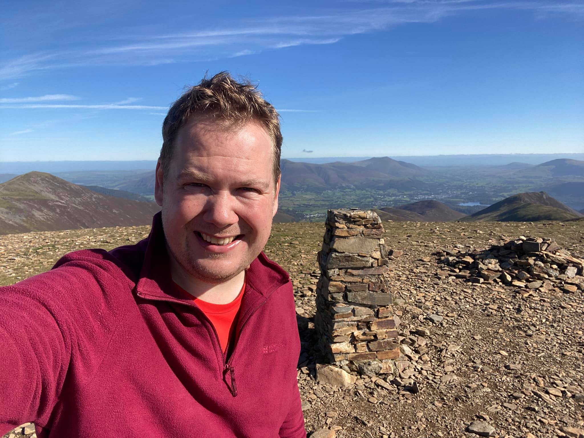
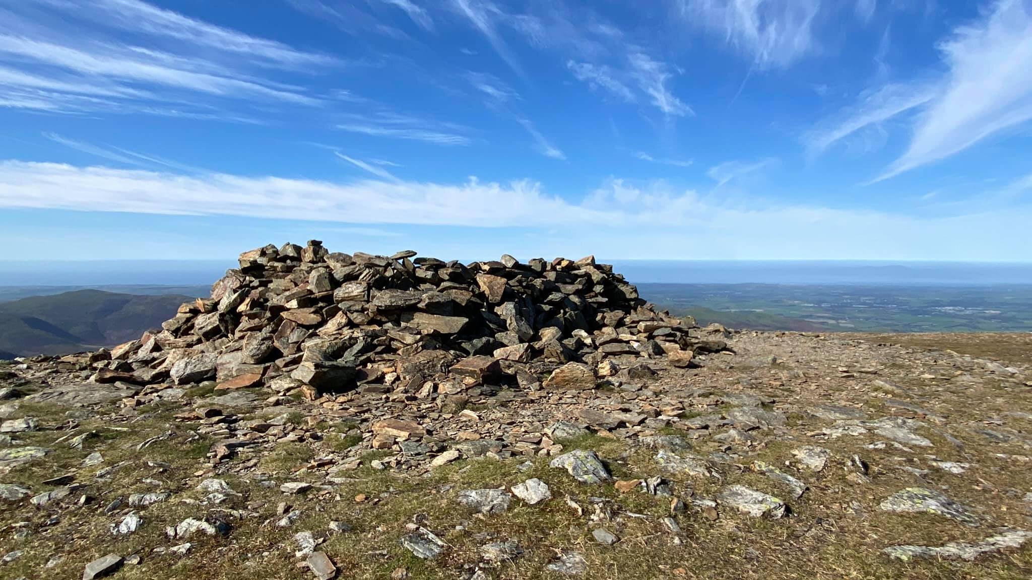
Wainwright refers to the 2749' summit as Eel Crag, although the Ordnance Survey maps describe it as Crag Hill. Chatting at an appropriate social distance to a fellow solo hiker at the summit, I used the former name, which seemed to confuse him greatly. Whatever the moniker, you get a fabulous vista, especially to the north and east with Coledale and the Skiddaw massif both in glorious view. There is also a fine trig pillar, the only one on this walk, which rather makes up for the deeply disappointing cairns on Sail, Wandope, and Whiteless Pike (Grasmoor has an impressively sturdy summit shelter marking the highest point).
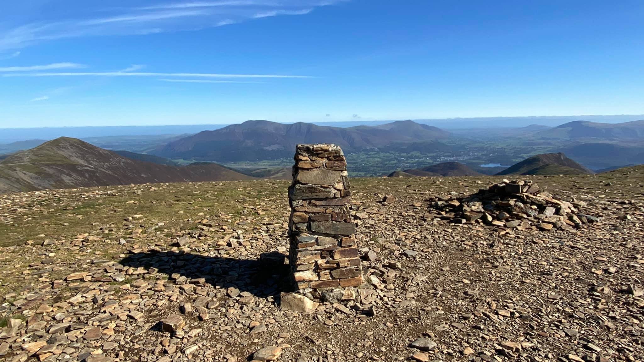
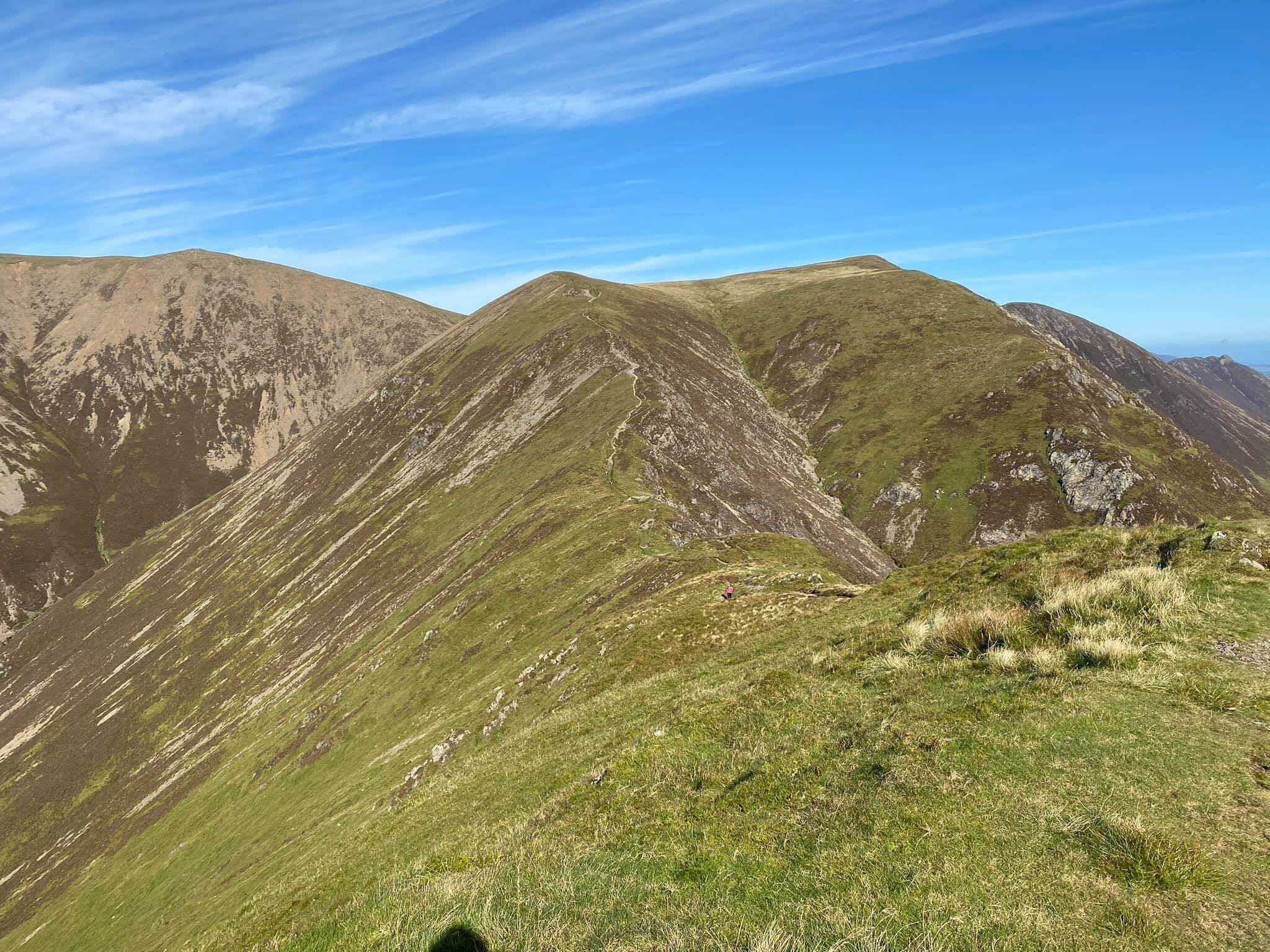
I spent more time that I would like to admit studying whether it was shorter to climb Wandope and then Grasmoor, or vice-versa. In the event, I chose to head straight for Grasmoor, largely to make sure that I didn't give myself any chance to talk myself into leaving it for another day and heading straight down Whiteless Edge. The initial path from the col feels very similar to the final haul up to Sail, albeit with more weary legs. After the initial short ascent, the path flattens onto a grassy plateau - more than large enough to implore you to return with nine mates, a football, and jumpers for goalposts.
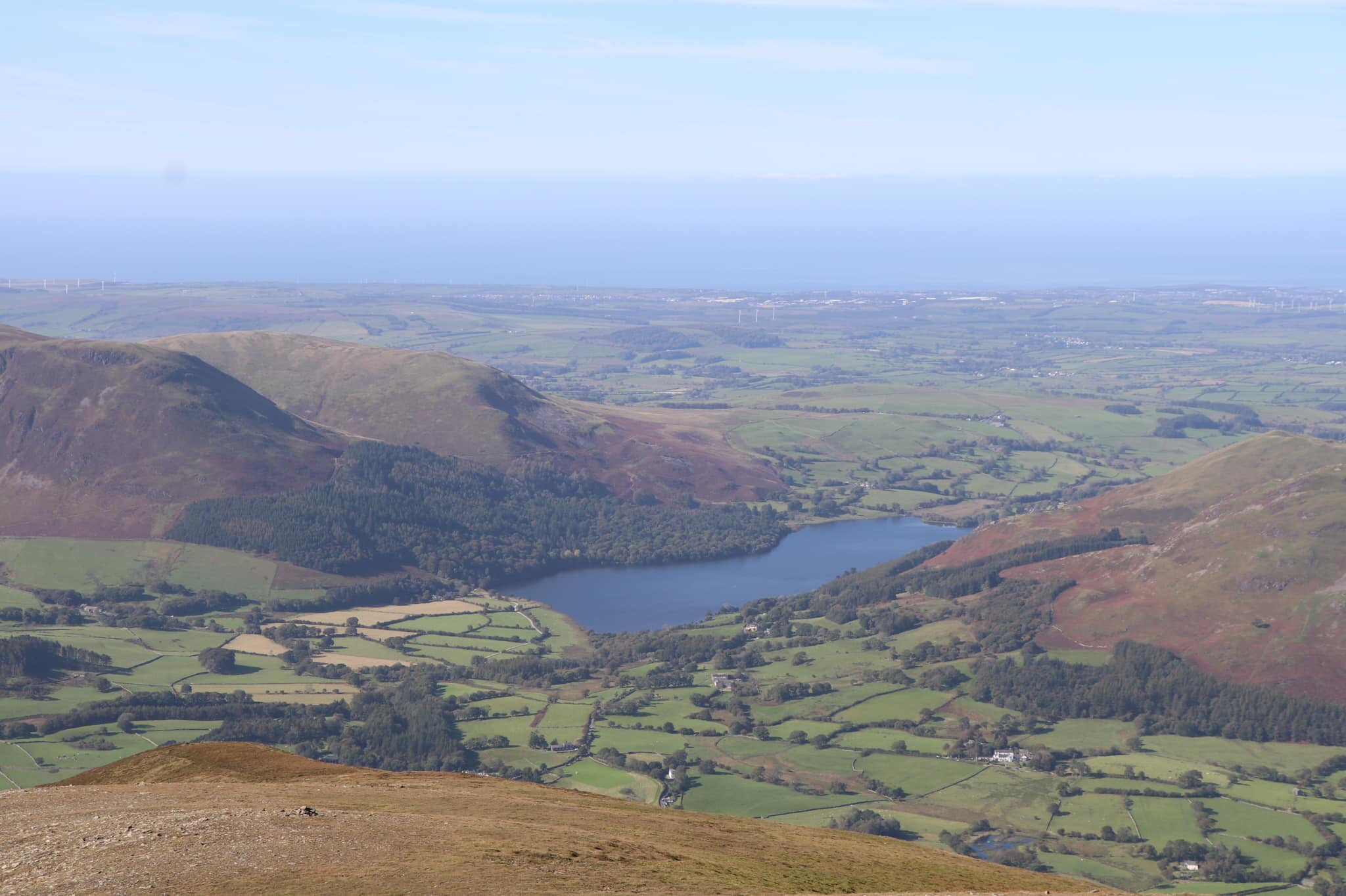
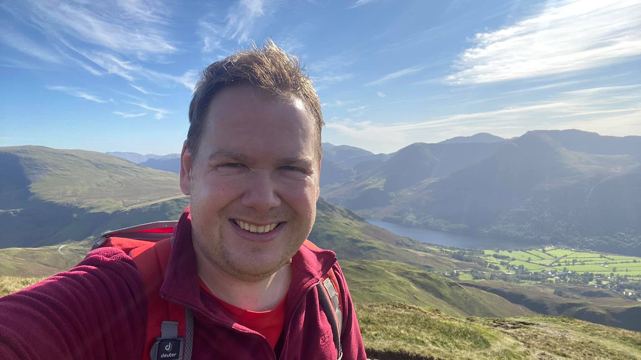
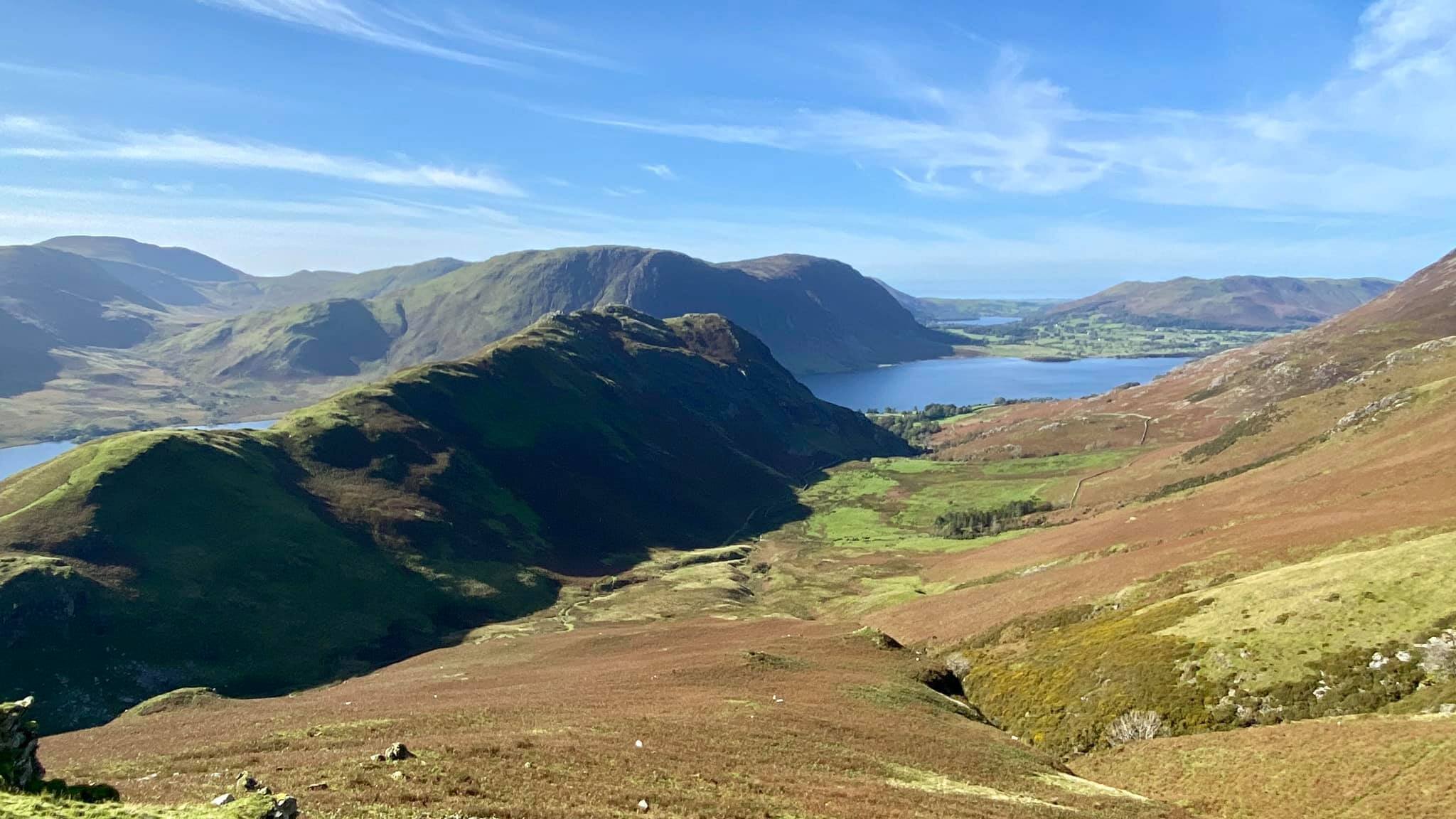
The flat top means you have to head slightly away from the summit to get the best views - south and south-west to Buttermere and Crummock Water, west to Loweswater and out towards the sea, and north to Gasgale Crags and Whiteside.
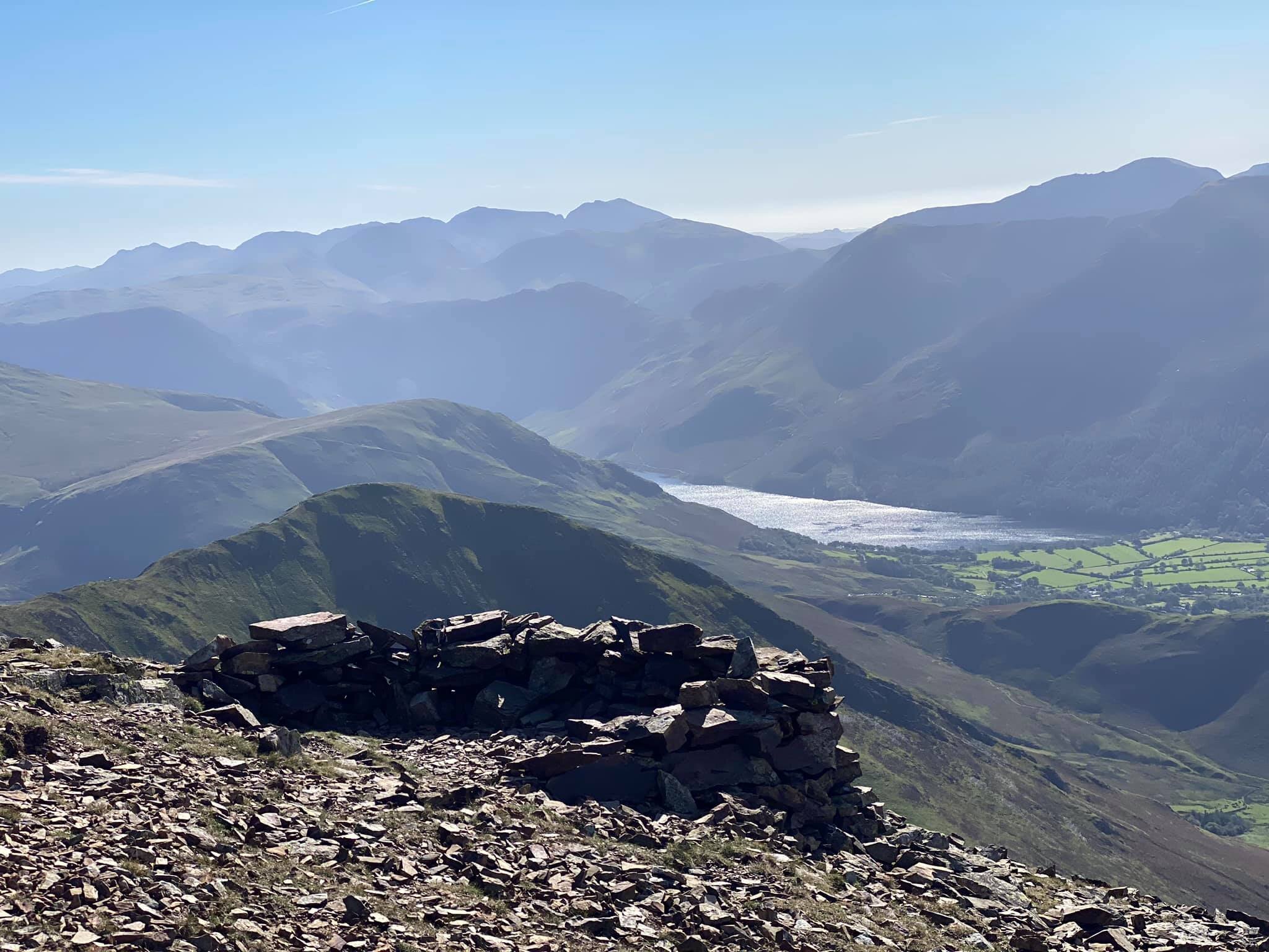
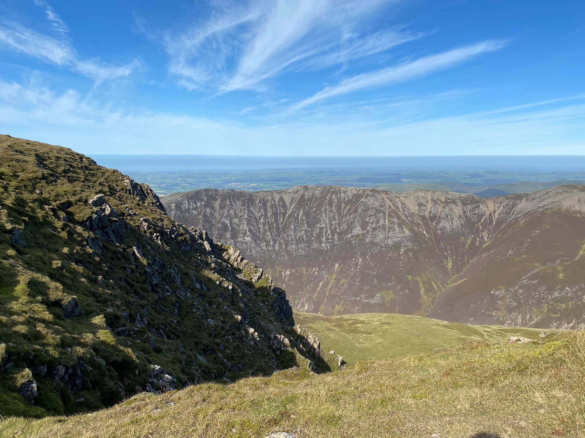
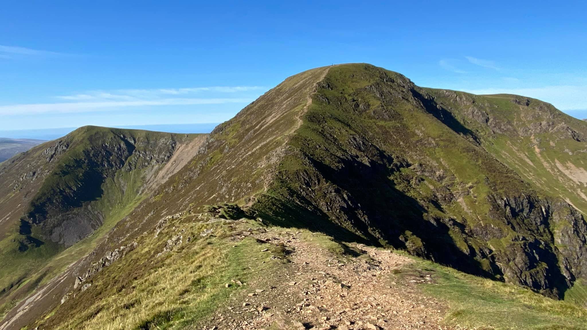
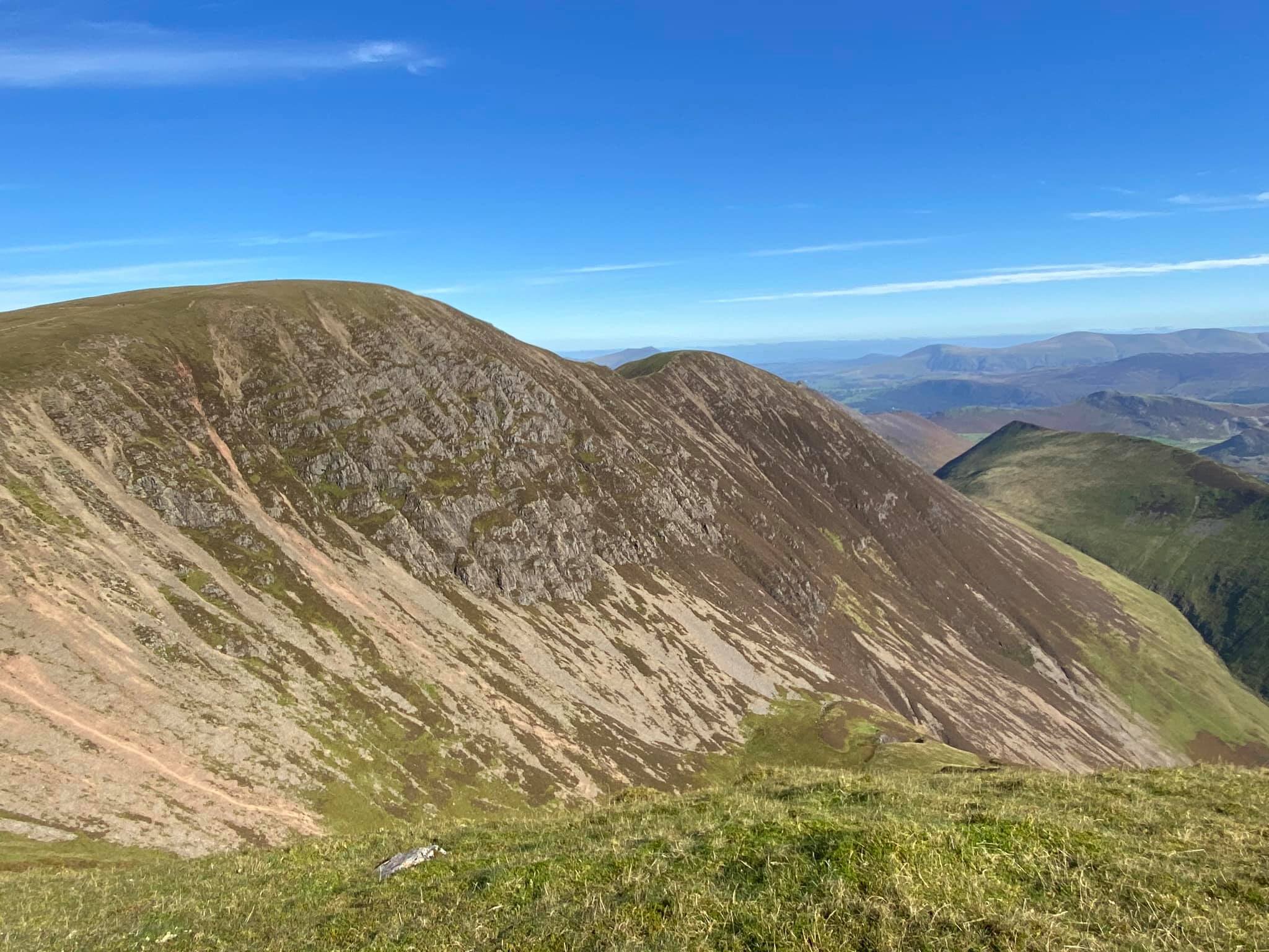
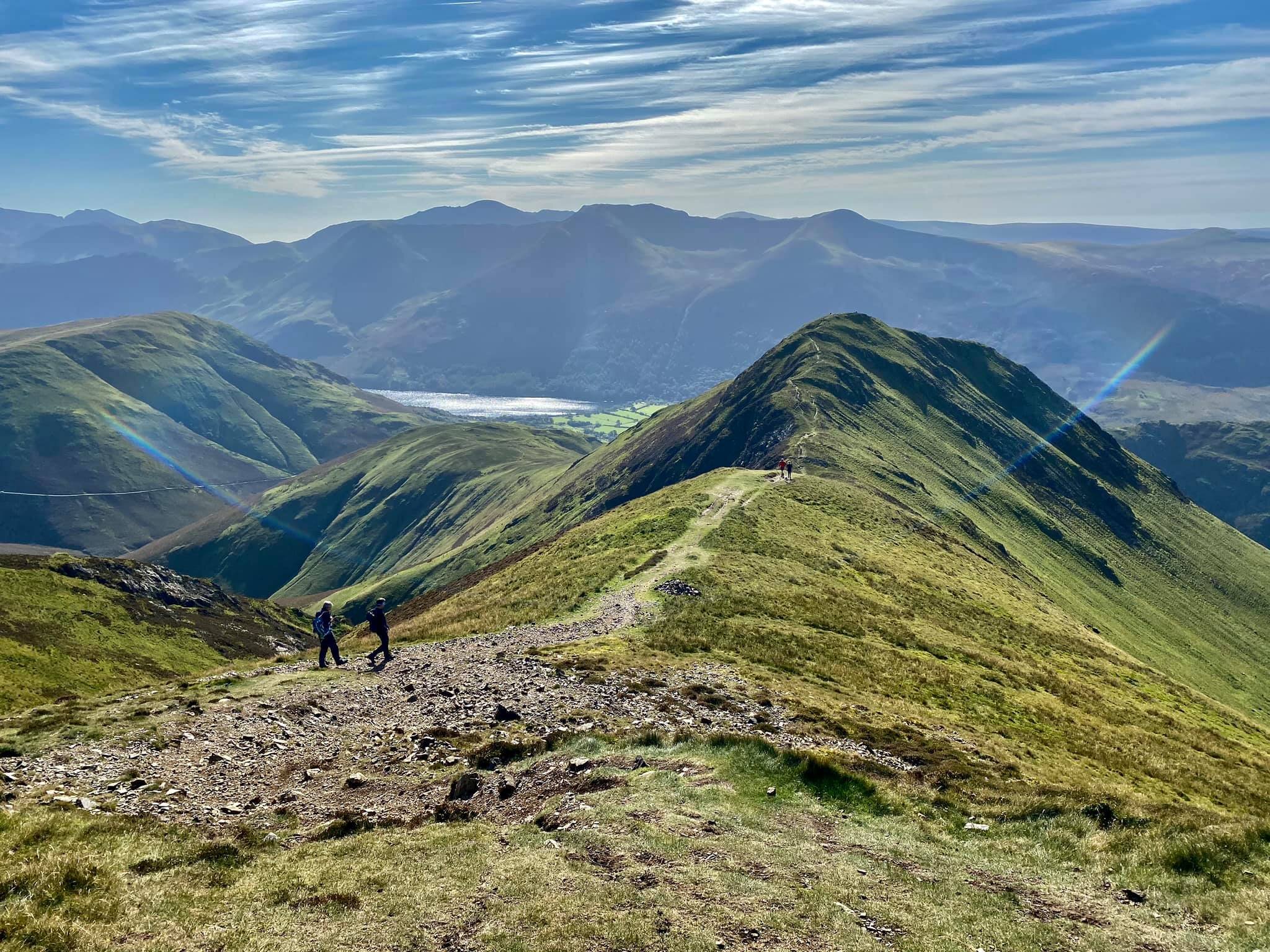
My one minor regret from this walk is not doubling-back to the Crag Hill to Wandope path for the best possible view of the hanging valley of Addacomb Hole, although there is still a view from the Wandope summit, along with a fine look back towards the Crag Hill crags from the south. Even more impressive was the view along Whiteless Edge towards Whiteless Pike, which for me challenged the Crag Hill summit vista for the finest of the day. Whiteless Pike would mark an important milestone in my Wainwright quest - my final summit of the North-Western Fells and therefore the first of Wainwright's seven guides that I would complete in full. In fact, I was so fixated on this milestone that a second milestone went entirely unnoticed until afterwards - Wandope was my 107th Wainwright and marked the halfway point in my round of 214.
Woah, I'm half-way there, woah, looking down on Buttermere... well it nearly rhymes.
Despite the lower elevation, you still get full value for the panorama from Whiteless Pike, especially looking down to Rannerdale Knotts and Crummock Water. High Snockrigg obscures the western shores of Buttermere itself but the fells above are all well seen. The initial descent from Whiteless Pike was a little trickier than I had expected, although it may just have been my tiring legs. I found myself descending alongside two small groups of hikers, including one group from the north-east, but as they both turned right for Rannerdale Knotts, I carried on through the woodland to Buttermere for a toasted teacake and to wait for the bus back to my starting point at Braithwaite.
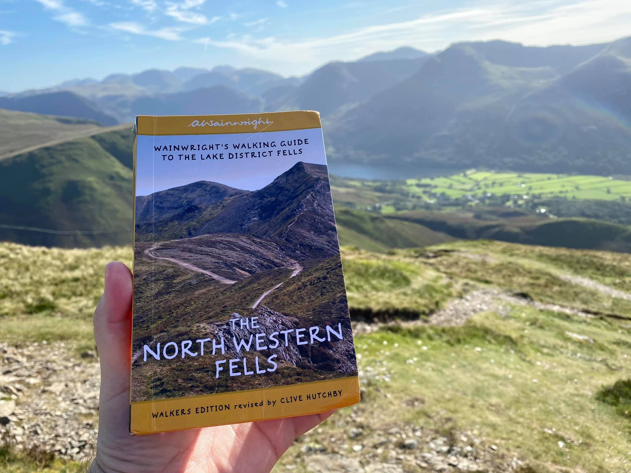
The North-Western Fells? Completed it, mate!
Click here to download the OS Maps route of this walk (minus a few hundred metres through Braithwaite at the start before I remembered to switch the tracking on...)
Date of walk: Sunday 27th September 2020
Summits gained: Sail, Crag Hill (Eel Crag), Grasmoor, Wandope, and Whiteless Pike
Total distance: 14km
Total ascent: 1500m